Introducing Nearmap in SiteMarker

When you’re planning or inspecting a site, clarity matters. But generic satellite maps often show conditions from a year—or even several years—ago.
With our new Nearmap integration, you can now access fresh, high-resolution aerial imagery directly inside SiteMarker. Nearmap flies over major metros multiple times a year, and even rural coverage is refreshed at least annually where available.
How it Works
The process is simple and built right into your existing workflow:
- Draw the area you want to view
- Select a desired Nearmap image (usually just weeks or months old)
- Save and use it like any other layer
Now your team can drop pins, add notes, and generate reports using imagery that reflects the current state of your project.
A Real-World Example
On one recent project, the default map showed only an empty lot. By pulling in a Nearmap layer, the team viewed the same area - now with a completed school building, soccer field, and new sidewalks.
It made punchlist documentation faster and helped streamline reporting back to the district.
Every project is different, but the impact is consistent: better visibility = better decisions.
What You Can Do with Nearmap Layers
- Update inspection workflows with recent visuals
- Compare phases of work using historical capture dates
- Show owners or municipalities exactly what’s changed
- Get around outdated or incomplete satellite data
Ready to Get Started
Nearmap packages are now available for purchase in SiteMarker. No extra setup—just better visibility when and where you need it.
Related Articles
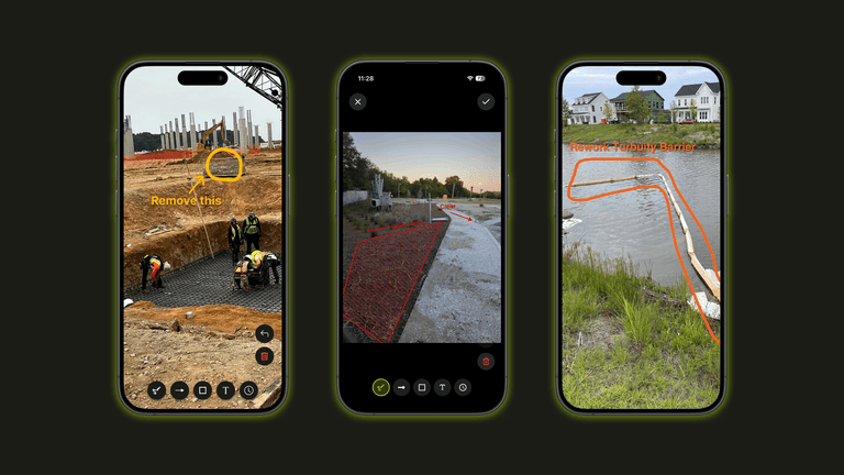
Introducing Photo Markup: Turn Site Photos Into Clear Communication
With Photo Markup, documentation becomes faster and clearer. Instead of taking photos, writing explanations, clarifying later, you simply take a photo, mark it up and move on. The explanation happens in real time, while the details are still fresh.

The Weather and What it Means at SiteMarker
Let's Talk About the Weather