How Ecosystem Services built a defensible field records system.
A Virginia-based environmental restoration firm replaced scattered PDFs, notes, emails, and photo texts with a single source of truth across every project, every site, and every stakeholder conversation.
About the Client
Ecosystem Services
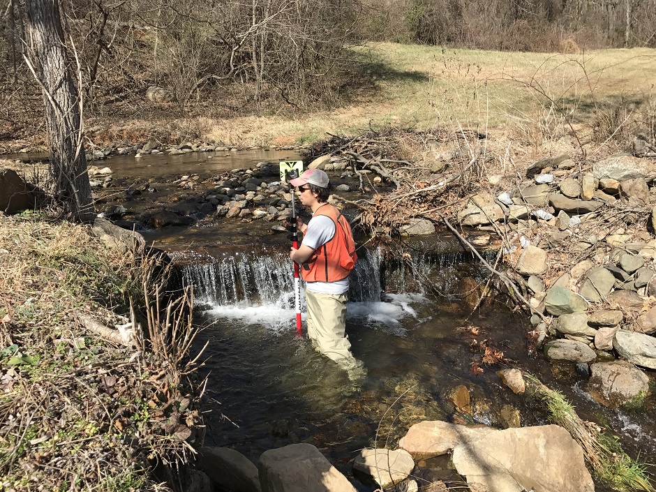
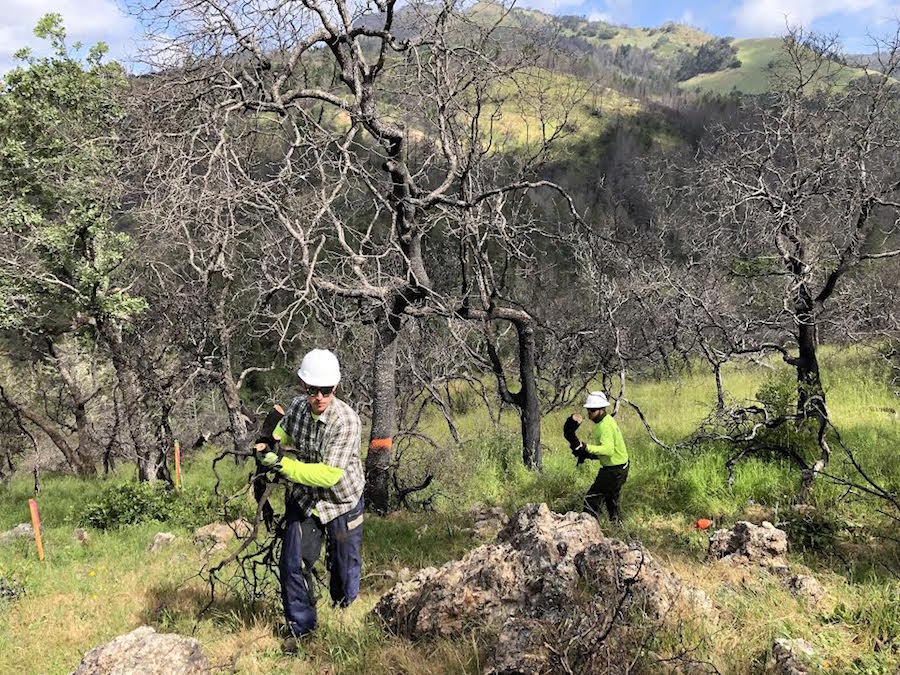
Ecosystem Services is a Virginia-based environmental restoration firm working across publicly funded mitigation banks and privately contracted projects, where regulatory accountability and long-term monitoring are built into every engagement. Their team walks streams, restores wetlands, and writes the record their work depends on. Documentation isn't a deliverable. It is the product.
17
Team members
8
Active projects
Services
Before SiteMarker
Documentation lived in different places.
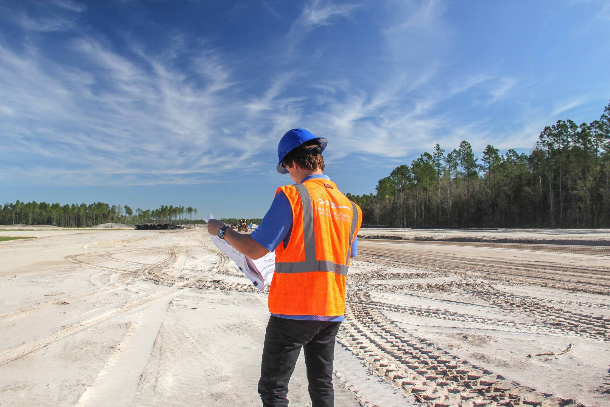
Environmental restoration firms operate under a documentation standard that most construction companies never face. Every observation, every photo, every contractor instruction is potential evidence. In a mitigation bank, it is the basis for credit release. In a regulatory audit, it is your defense. When a contractor conversation gets contested, it is the only record that matters. Before SiteMarker, Ecosystem Services was running that documentation workflow across PowerPoint decks, PDFs, photo exhibits, emails, and text threads. No single place to look. No map to anchor anything to. No trail that could hold up under scrutiny.
No Single Source of Truth
Field observations and contractor instructions lived across PowerPoints, PDFs, email threads, photo texts, and personal phones. No shared record. No follow-up trail.
No Location Anchor
Photos existed, but tying them to a specific location on a site plan required manual work and a lot of memory.
No Shared Field View
Team members and stakeholders had no real-time visibility into what was being observed on site.
The way that we were doing it prior to was PowerPoint, PDFs, photo exhibits, emails, texts, you know, all over the place.

Kyle Ashmun
Stream Restoration Specialist
Ecosystem Services
The Solution
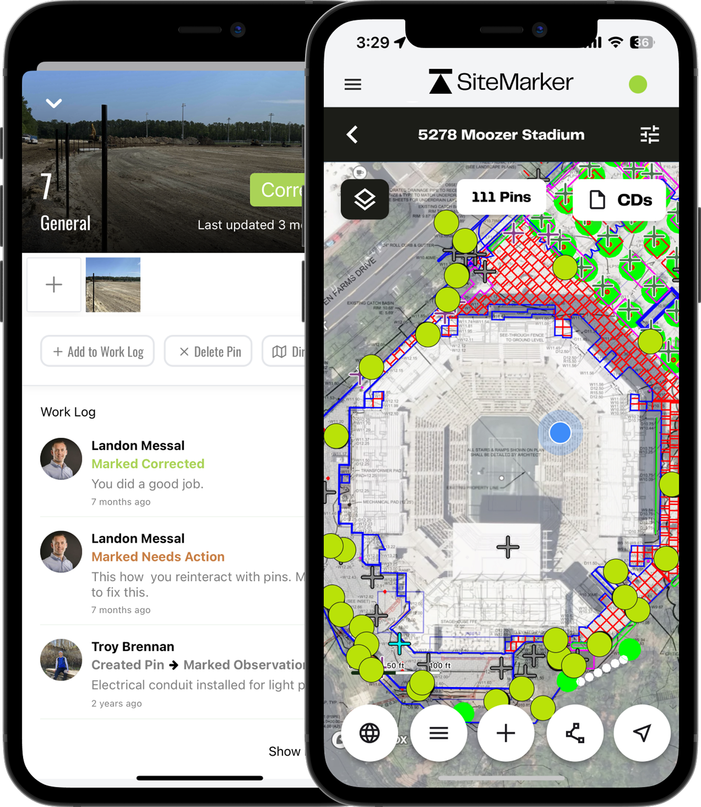
One place. Every pin, photo, note, and report.
SiteMarker's plan-view, map-first interface aligned immediately with how the Ecosystem Services team already thinks. They work in CAD. They work in GIS. A platform that starts from the plan view and layers observations on top of it was not a new behavior to learn. It was a familiar one, finally applied to field documentation.
Plan-View Setup
Each project configured with site plans and base layers. Navigate the site digitally the same way the team already reads drawings.
Pin Observations
Walk the site and drop pins at the exact location of every observation. Photos, notes, and tags attach directly to the pin.
Track Worklogs
Issues get pinned, assigned, and tracked. Contractors log corrections. The entire thread stays attached to the location.
Generate Reports
Field data rolls into reports without manual assembly. 61 reports published across 8 projects, drafts ready when needed.
How adoption took hold
A platform that fit how they already worked.
Ecosystem Services already works in CAD and GIS. SiteMarker's plan-view, map-first interface aligned immediately. No new behavior to learn, just a familiar one finally applied to field documentation.
Captured 0 geo-located pins across 8 active restoration projects.
Tied 0 photos to specific locations on site plans.
Published 0 reports straight from the field.
Results
A record they can stand behind.
Every regulatory conversation, every contractor exchange, every client review. Ecosystem Services now walks in with a complete, geo-referenced field record organized by project and location, ready to pull up.
Regulatory-Ready Site Data
Every observation geo-tagged, time-stamped, and organized by project. Ready for any regulatory conversation, audit, or stakeholder review.
Single Source of Truth
Pins, photos, notes, and reports all live on the same map. Field teams and office staff see the same record at the same time.
1,200+ Field Observations Captured
In 12 months across 8 projects: 453 pins, 1,145 photos, 61 reports. Every observation geo-tagged at the moment of capture.
You could almost inundate yourself with data because of its ease. It didn't take a lot of time. It's not another note you're scribbling. In a lot of cases for us, more data is better than less. Even if it was trivial, at least it was there and documented.

Jon Roller
Co-Founder, Principal Soil Scientist
Ecosystem Services
Annual Cost Savings
0
in documentation time recovered
0
saved annually
0
in labor savings
Reports published
61
Hours saved per report
2 hrs
Pins and worklogs
1,200
Time saved locating per observation
10 min
Total hours recovered
322 hrs
Staff hourly rate
$175 / hr
17 team members. 8 projects. Every pin, worklog, and report replacing a manual step that used to live in an email thread or a PowerPoint.
Calculation: 61 reports × 2 hrs + 1,200 pins/worklogs × 10 min = 322 hrs × $175/hr environmental consulting rate. Does not include value of avoided rework or credit release delays.
Ready to see SiteMarker in action?
See why environmental firms like Ecosystem Services trust SiteMarker to build defensible, geo-referenced field records on every project.
“Only 4% of the data in the AEC industry is structured, usable and actionable.” - McKinsey
We're here to change that.
Keep reading
More customer stories
How DCCM saved 340 hours a year on field reporting.
DCCM
Read the story →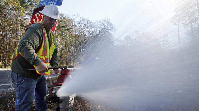
How BJWSA captured more site documentation in 2 years than the previous 15 combined.
Beaufort-Jasper Water & Sewer Authority
Read the story →
How K. Hovnanian Homes saved $35,560 in manual reporting work.
K. Hovnanian Homes
Read the story →